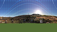
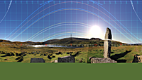
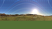
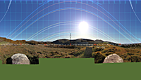
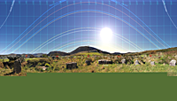
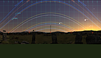
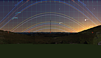
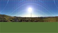
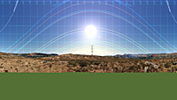
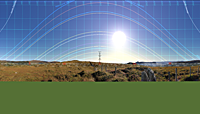
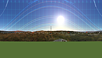
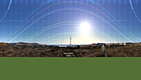
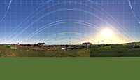
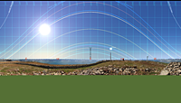
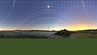
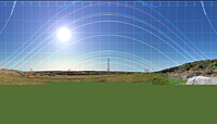
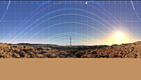
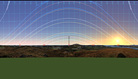
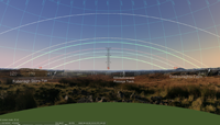
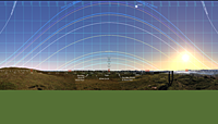
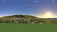
After you have downloaded a .zip file for a landscape from this page, you will need to install it in Stellarium. Every downloaded .zip file contains a readme.txt file that explains how to do this, or you can get the info from the Stellarium website.
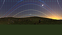
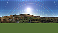
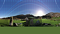
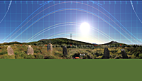
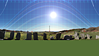
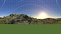
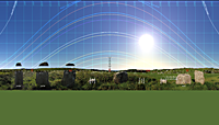
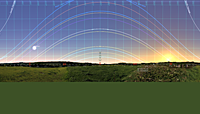
All the horizons offered here have been surveyed, thus they are accurately calibrated. However, they were originally surveyed and photographed purely for study of the relationship between ritual monument sites and their horizons. Consequently, images do not include the nearest foreground but the polygonal profiles contain many data points that may be usefully compared to computer generated profiles.
For each site there are two download options: image or profile; both are .zips.
- The profile option contains the horizon trace data in a file of the form horizon-sitename.txt, plus a landscape.ini file that contains further site/survey data. There is also a readme.txt file that may contain further information.
- The image option contains the image (broken into 8 parts) but also contains horizon-sitename.txt. The landscape.ini file contains the code to display horizon-sitename.txt but it has been commented out. Remove the initial ; from the two relevant lines to see the trace displayed over the pictorial horizon.
Studying the ways that different ritual monuments within a local group have utilised the same horizons is generally more informative than comparing the different horizons used by different instances of some particular class of monument. Thus this page is organised by geographical groups rather than by alphabetical site names as are other pages on this site.
Group 1: Cork-Kerry stone circle complex monuments along the south side of Kenmare Bay / River.
A standing stone pair and a number (not all) of the known stone circles plus, in some cases, spatially associated different / later monument types that together comprise a local group. Due to their location, many of these sites have fairly high southern horizons. Order is west to east and many other sites remain unsurveyed.
Cashelkeelty Local Group: Two stone circles and a stone row (though the latter has not been independently surveyed).
A multiple stone circle, later followed by a stone row and then again by a five stone circle. All excavated, not all successfully dated, see site pages.
Cashelkeelty Multiple Stone Circle, Kerry, Ireland. Excavated, c.1200-1000BCE.
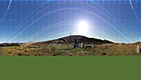 +51°45'26.1", -9°48'52.8", 120m.
Cashelkeelty Five Stone Circle, Kerry, Ireland. Excavated, c.850BCE.
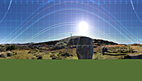 +51°45'25.5", -9°48'49.5", 120m.
Uragh Local Group: A multiple stone circle followed by boulder-burials, then standing stones and finally, five stone circles.
Group 2: Cork-Kerry stone circle complex monuments along the north side of Bantry Bay.
There are many monuments along the south side of the Beara peninsula but most are still unsurveyed. The two multiple stone circles are the only ones of their type; although there is another [Dromkeal] at the head of the bay, inside a forestry plantation. A five stone circle at Adrigole is inaccessible.
Local Group: Five mid-late bronze age sites above Glengarriff, West Cork.
The stone rows were first, followed by the boulder-burial. The standing stones bounding these sites could have been erected by either group but may be independent and, if so, later. Later again were the five stone circle and cairn beside Canrooska row, their position indicating the holiest site. The radial stone cairn beside the south-most standing stone would have been last of all.
Group 3: South coast of West Cork (east of Leap).
Local Group: Ownahinchy river (lower reaches), Rosscarbery, West Cork.
The portal tomb was obviously first, almost certainly followed by the stone circle and then the boulder-burials.
Group 4: Early / high sites in West Cork.
Local Group: Two Passage Tombs.
These two are the only known tombs of this type in Cork. They may be seen as a westwards expansion from the Waterford area during the late neolithic.
Local Group: Two Portal Tombs.
These two are the only known tombs of this type in Cork. They may be seen as a westwards expansion from the Waterford area during the late neolithic. The Ahaglaslin tomb is also featured as the initial monument of the local group: Ownahinchy river (lower reaches), Rosscarbery, West Cork.
Local Group: Odd sites along the ridge defining the south side of Dunmanus Bay.
These are the only early sites of any significance on the upper reaches of the north side of the Mizen peninsula.
Local Group: Two wedge tombs.
These are the first two in a sequence that penetrates inland by following a ridge on the south side of Bantry Bay. The ridge-top site was clearly first, followed by a better site down the slope a bit, after further clearance.

