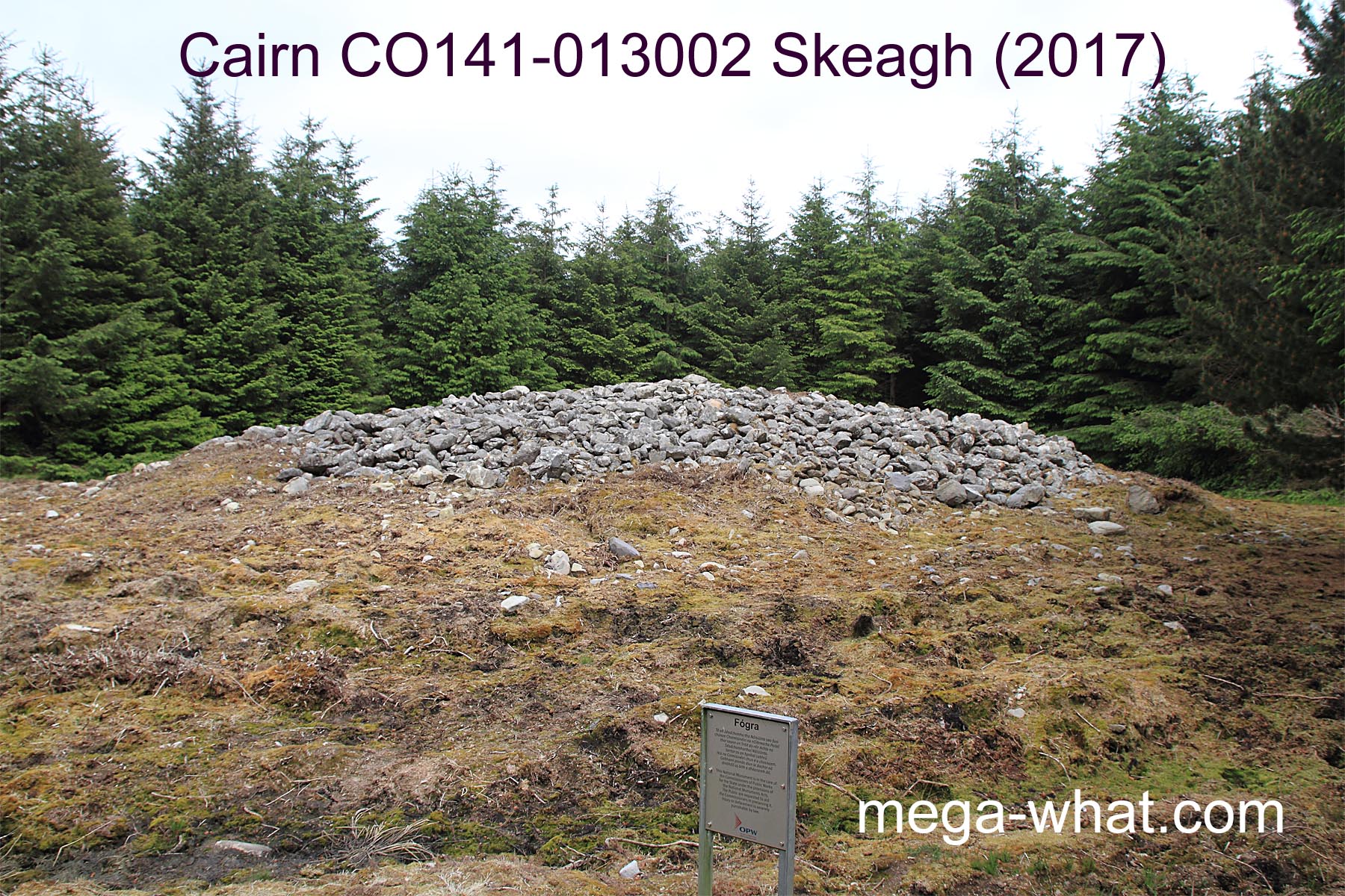
 Skeagh Cairn is in the "Caheragh triangle" between Ballydehob and Skibbereen, about 3.5km north of the N71.
It is c.19m across and 2m or so high, built of large stones on a low wide hilltop.
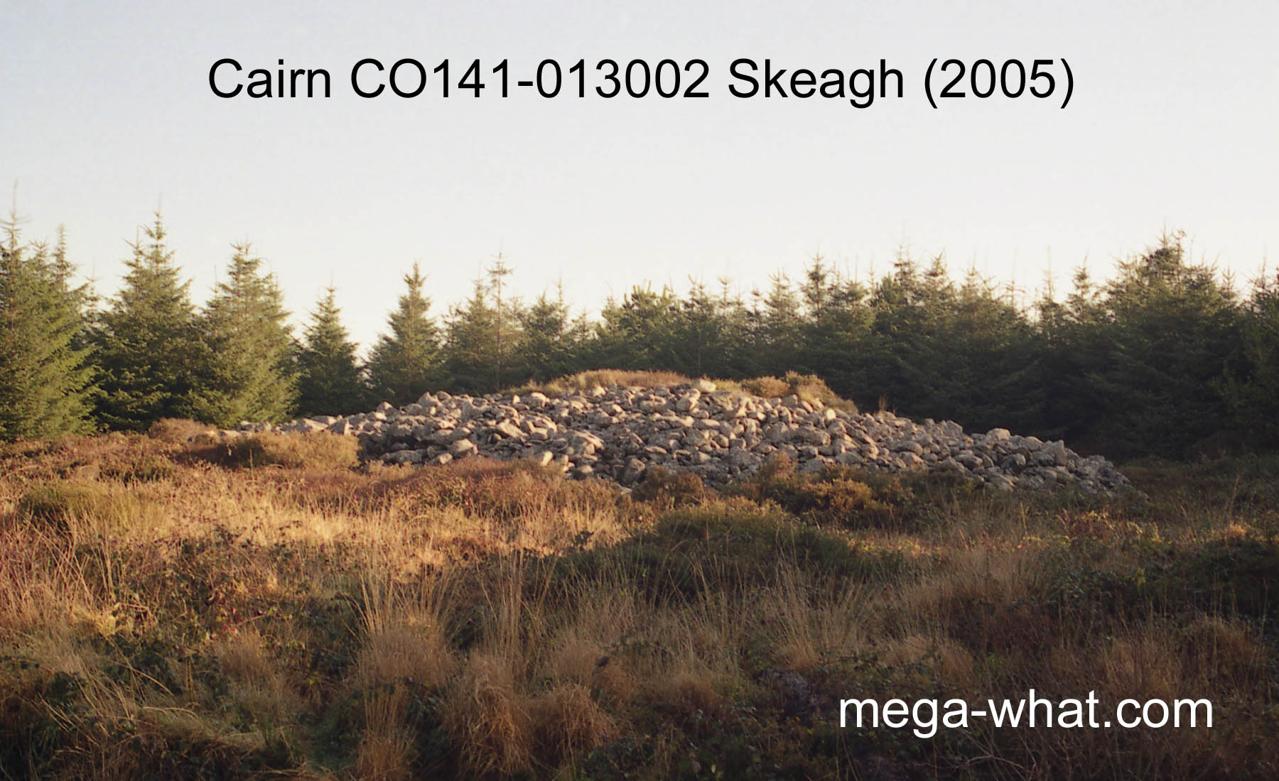
Skeagh Cairn is in the "Caheragh triangle" between Ballydehob and Skibbereen, about 3.5km north of the N71.
It is c.19m across and 2m or so high, built of large stones on a low wide hilltop.
There is supposedly a Ring Barrow (CO141-013001) c.20m N/NE of it but I have failed to find it on several occasions. It is recorded as a level area with a fosse and outer bank, c.12.5m diameter overall.
These two sites comprise National Monument no.580 and the cairn is easily accessible. It is in the middle of a state owned forestry plantation and luckily its position can be estimated from a distance because it is close to the line of an age difference in the plantings. There is a school of thought that suggests that this cairn could be a passage tomb but there is no evidence to indicate it and a horizon analysis cannot be done because of the trees.
This position is on the skyline from a number of prehistoric sites:
- Boulder-Burials at Kilmore, 8.9km to the north-east
use it to mark the most extreme southerly moonset position are the most likely site to have been an original backsight.
- The Standing Stone Pair at Foherlagh
is only 1.5km to the south-west, on a spur of the same hill,
and would seem to use it to mark the most extreme northerly moonrise position (view obscured by forestry)
but the cairn is unnecessarily massive for the purpose.
- It is on the eastern horizon but not significant from a Boulder-Burial at Rathruane More (10.8km)
and nearby Standing Stone at Rathruane Beg (11.0km).
Having said that, it is about two days north of the equinox from the first and the same south of it from the second.
- It is on the horizon at about declination +32° from Lisheen Lower Boulder-Burial, 6.25km to the south-west.
- Its horizon position is a quarter-month south of the winter cross-quarters (WXQ-8) from
Garryglass Stone Circle, 17.3km away to the north-east
but at that distance the hilltop is a sufficient marker on its own.
References
- Archaeological Survey of Ireland, record details. www.archaeology.ie/archaeological-survey-ireland
- POWER, D. et al. 1992 Archaeological Inventory of County Cork, Volume 1: West Cork. Dublin: Stationary Office. p101, no.852.