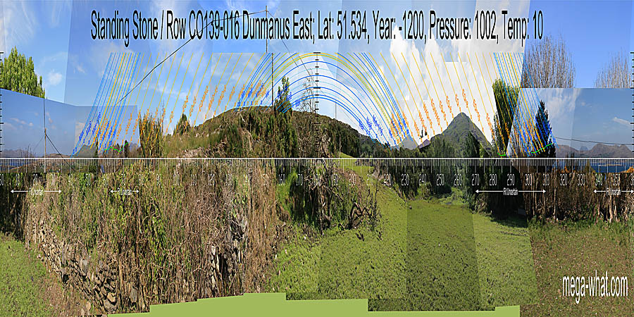
 South is on a local slope. North looks to be marked by a distant intersect notch but trees prevent accurate survey. Green lines approximate hidden horizons.

Vertical scale x4, maxpic 3200x1600.
Orange lines mark the annual solar round. Lunistice positions over the 18.6 year lunar nodal cycle are blue. More about the Solar Calendar More about the Lunar Calendar More about this placeLook North
Dunmanus Stone Row: 360° S centred
 South is on a local slope. North looks to be marked by a distant intersect notch but trees prevent accurate survey. Green lines approximate hidden horizons.
- Dunmanus Boulder-Burial is 1.1km north-east (29°)
- Farranamanagh Stone Row is 6.3km north (338°) across the bay
| Home | Site Lists | Glossary | Survey Data |
Most archaeological monuments are on private property and where not otherwise indicated those wishing to visit a site should seek permission from the landowner.